MD Precison Aerial is now Live!
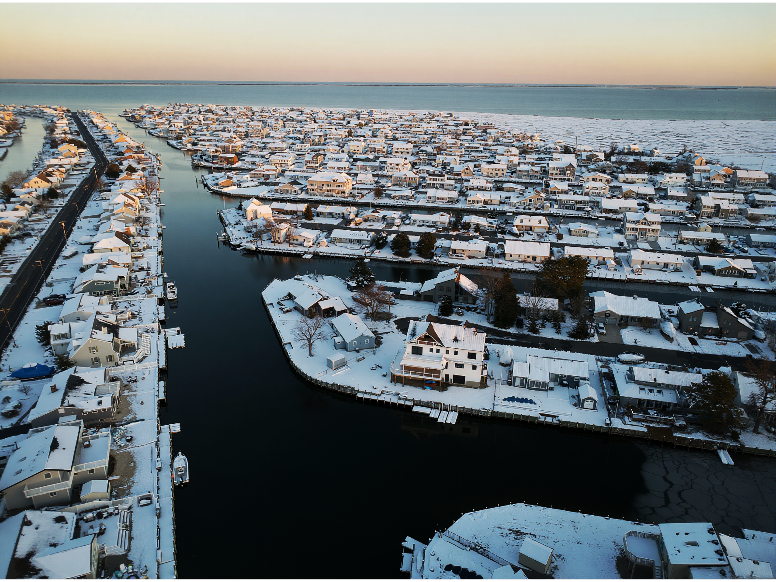
MD Precision Aerial delivers industry-leading aerial services that help surveying, inspection, and real estate teams work faster, safer, and with greater accuracy. Our highly trained pilots use the latest drone platforms and software to capture precise aerial images.
What we offer
Aerial Services for Real Estate & Commercial Projects
Aerial Photography
Cinematic Drone Video
Property Overviews
Construction Progress
Commercial Marketing
Routine site monitoring and automated flight programs to capture consistent, repeatable data on schedule.
Inspections of powerlines, cell towers, bridges, and complex structures to reduce risk and eliminate the need for costly manual access.
Why choose MD Precision Aerial
Precision-planned flight paths
Clean, distortion-free imagery
Professional communication
Compliance-first operations
Faster turnarounds: Rapid data capture and streamlined processing cut days or weeks off traditional methods.
Cost-effective: Reduce mobilization, labor, and safety costs compared with manual inspections and crewed surveys.
Safety-first operations: FAA-part 107-certified pilots, centralized risk assessments, and redundant procedures minimize on-site hazards.
Scalable for any project: Single-site inspections to multi-acre, multi-phase construction programs — we scale resources and automation to meet your schedule and budget.
How we work
Project scoping: We match flight plans to your objectives and regulatory constraints.
Field execution: Certified pilots capture consistent, high-quality data and images.
Processing & QA: Industry-standard software, automated checks, and expert review ensure accuracy and completeness.
Typical results clients see
Reduced downtime for infrastructure inspections and lower risk to personnel.
Better project transparency and stakeholder communication with up-to-date visualizations.
Industries we serve
Construction and earthworks
Energy (solar, utilities, oil & gas)
Transportation and bridges
Real estate and land development
Insurance and claims
Get started Tell us your project scope, timeline, and deliverable requirements. We’ll provide a clear proposal with recommended schedule, pricing, and a guaranteed accuracy target so you can move forward with confidence.
MD Precision Aerial — precise imaging, safer operations, faster decisions.
Forked River, NJ 08731
FAA-certified drone photography and video for real estate and commercial properties. Fast turnaround. Fully insured.